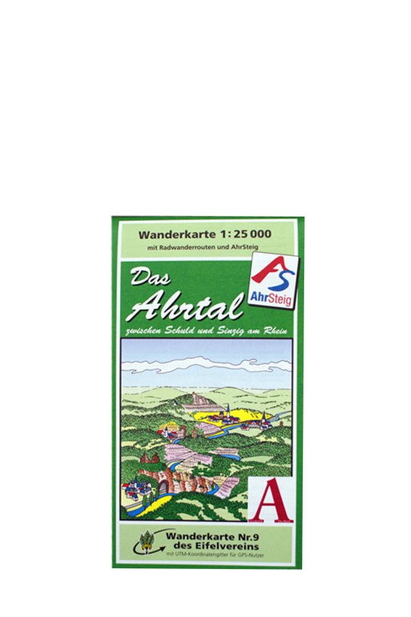
The official hiking map No. 9 of the Eifel Association with the AhrSteig and Rotweinwanderweg (Hiking Path)
1 : 25000
Down the Ahr from Schuld and Dümpelfeld in the south via Ahrbrück, Altenahr, Mayschoß and Dernau to Bad Neuenahr-Ahrweiler up to Bad Bodendorf in the northeast
Publisher: Eifel-Verein e.V


